

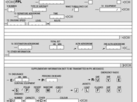
Refer to figure.
In the ATC flight plan Item 15, a cruising speed of 470 knots will be entered as…
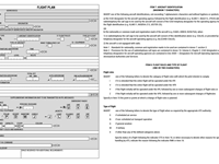
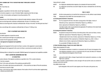
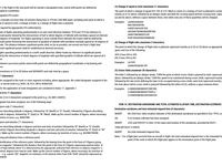
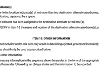
Refer to figures.
ICAO Doc 4444
Appendix 2
ITEM 15: ROUTE INSERT
the first cruising speed as in (a) and the first cruising level as in (b), without a space between them.
THEN, following the arrow, INSERT the route description as in (c).
(a) Cruising speed (maximum 5 characters)
INSERT the True airspeed for the first or the whole cruising portion of the flight, in terms of:
Kilometres per hour, expressed as K followed by 4 figures (e.g. K0830), or
Knots, expressed as N followed by 4 figures (e.g. N0485), or
True Mach number, when so prescribed by the appropriate ATS authority, to the nearest hundredth of unit Mach, expressed as M followed by 3 figures (e.g. M082).
Your Notes (not visible to others)
This question has appeared on the real examination, you can find the related countries below.
-
Pakistan8
-
Spain6
-
United Kingdom5
-
Malaysia4
-
Czech Republic3
-
Bulgaria2
-
Austro Control1
-
Denmark1
-
Lithuania1
-
Sweden1


 Use Keyboard Shortcuts
